


SityTrail - 2017-01-09 Rando Galette Plessis Paté

c.chehere
User
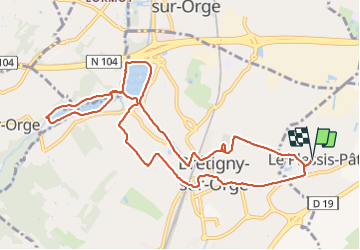

Length
11.1 km

Max alt
92 m

Uphill gradient
91 m
Km-Effort
12.3 km

Min alt
34 m

Downhill gradient
91 m
Boucle
Yes
Creation date :
2018-12-02 19:53:49.294
Updated on :
2018-12-02 19:54:33.559
2h43
Difficulty : Medium

FREE GPS app for hiking
 SityTrail
IGN / Geographical institutes
SityTrail Plus
The world is yours!
About
Trail Walking of 11.1 km to be discovered at Ile-de-France, Essonne, Le Plessis-Pâté. This trail is proposed by c.chehere.
Description
Rando de Martine et Alain Gauthier
Office de Tourisme de l'Arpajonnais
http://ot-arpajonnais.fr/
Positioning
Country:
France
Region :
Ile-de-France
Department/Province :
Essonne
Municipality :
Le Plessis-Pâté
Location:
Unknown
Start:(Dec)
Start:(UTM)
450207 ; 5384489 (31U) N.
Comments